Africa security monitoring, country by country
What Sentry View tracks across the African continent, which countries are on the atlas, which layers exist today and where the limits are. This page describes the coverage and the method: it shows no reports, profiles or assessments.
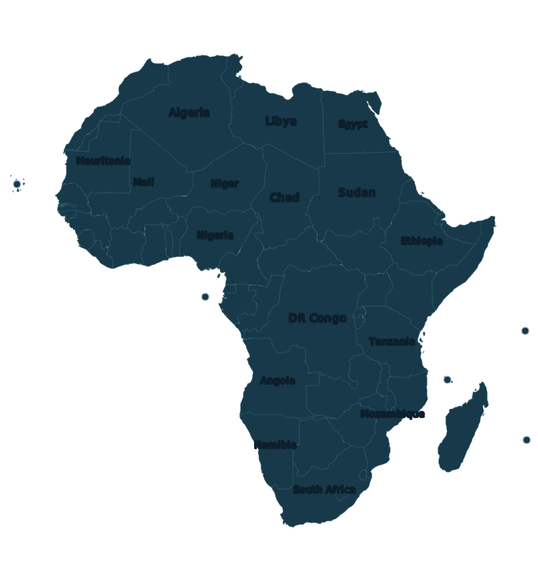
A declared pilot, country by country
Sentry View’s expansion into African regions is a pilot phase: tracking public sources country by country, with verification still being built. Today it consists mainly of following public sources; the verification standard used in Haiti is not yet replicated here, and we do not want to imply otherwise. We say so rather than hide it.
What does apply from the start is the method. Every record carries a category (security, incidents, humanitarian or politics), a confidence level (confirmed, probable or unverified, with unverified as the default), a cited source where there is one, and a validity period. Haiti and Africa keep independent roles: operational content is only visible to the moderators of the corresponding region.
No decision that puts a person at risk should rest on this information alone. It is meant to complement the judgement of people who know the ground, not to replace it.
The 55 countries of the atlas
The operational map for Africa is drawn by country. These are the 55 countries and territories on the atlas, each of which can be selected to see its reports, its editorial profile and its actions:
| A–E | E–M | M–S | S–Z |
|---|---|---|---|
| Algeria Angola Benin Botswana Burkina Faso Burundi Cabo Verde Cameroon Central African Republic Chad Comoros Côte d’Ivoire Djibouti DR Congo |
Egypt Equatorial Guinea Eritrea Eswatini Ethiopia Gabon Gambia Ghana Guinea Guinea-Bissau Kenya Lesotho Liberia Libya |
Madagascar Malawi Mali Mauritania Mauritius Morocco Mozambique Namibia Niger Nigeria Republic of the Congo Rwanda São Tomé and Príncipe Senegal |
Seychelles Sierra Leone Somalia South Africa South Sudan Sudan Tanzania Togo Tunisia Uganda Western Sahara Zambia Zimbabwe |
A country with no colour on the map does not mean it is safe: it means there is no data for it. When a country has no reports in the selected range, that describes Sentry View’s coverage, not the situation in the country.
Layers available
- Georeferenced reports — security, incidents, humanitarian and politics, each with its confidence level, cited source and validity.
- Editorial profiles by country — a profile written by the moderation team for a country, with a risk level where one has been assessed. Countries without a profile are shown as “not rated”, never as safe.
- News panel — headlines from a fixed set of outlets, kept apart from verified reports (see below).
- Live traffic — street-level traffic flow from TomTom in the seven countries where it is available: Egypt, Kenya, Lesotho, Morocco, Mozambique, Nigeria and South Africa. The automated traffic layer only loads with a signed-in session. Elsewhere, the map draws nothing and any traffic information comes from manual reports.
Trial vs membership
Every new account starts with a 5-day free trial, with no card required. When it ends, membership keeps full access at US$18 per 30 days of access, with no automatic renewal. Haiti and the African regions are included in both.
| Included | Trial | Member |
|---|---|---|
| Map and recent public reports | Included | Included |
| Haiti and African regions | Included | Included |
| Complete history | — | Included |
| Exact location of every report | — | Included |
| Member maps and operational layers | — | Included |
| Risk zones and critical infrastructure | — | Included |
| Available public evidence | — | Included |
During the trial (the Viewer role), the position of each report is rounded on the server — the browser never receives the real point — and sensitive evidence is not shown. Members see the full public history, exact locations and the public evidence available.
Sources
Every report states its provenance: direct observation, a cited external source (always linked to the original; third-party content is never copied), information received through direct contact (logged without identifying the sender), or automated news intake.
For the African regions, the automated intake reads headlines from AllAfrica, BBC News Africa, Africanews, RFI Afrique, News24, Mail & Guardian and Premium Times. Headlines sit in a separate panel, clearly kept apart from verified reports, and are deleted after 60 days. A headline is not a report: it is a lead to investigate.
Limits
- Verification is being built. The African coverage is a pilot; the two-independent-sources standard applied in Haiti is not yet replicated here.
- Absence of data is not safety. Coverage is uneven: there are more records where there is more connectivity and more sources. A country with few reports may be a quiet country or an uncovered one, and the map alone cannot tell the two apart.
- Verification is documentary, not forensic. We do not perform image analysis or technical geolocation of received material.
- The team is small. That limits how much can be verified and how fast.
We never publish the locations of humanitarian organisations’ offices, residences or teams; the names of people who report; exact coordinates for anyone without a verified account; or attribution of territorial control outside moderation accounts. Nor does this page contain any report, profile or assessment: it describes coverage and method only.
Get started
See the whole platform before deciding: map exploration, reports and alerts, and a look at the main tools. No card required to start.
Questions, corrections or information: gerencia@sentryuav.app. See also Haiti: security intelligence by district and the methodology.